Madinat Ash Shamal Municipality Qatar Diagram Showing Location Region Larger — Foto de Stock

Madinat ash Shamal, municipality of Qatar. Diagram showing the location of the region on larger-scale maps. Composition of vector frames and PNG shapes on a solid background — Ilustración

Madinat ash Shamal, municipality of Qatar. Diagram showing the location of the region on larger-scale maps. Composition of vector frames and PNG shapes on a solid background

 — Ilustración de Yarr65

Misma serie:

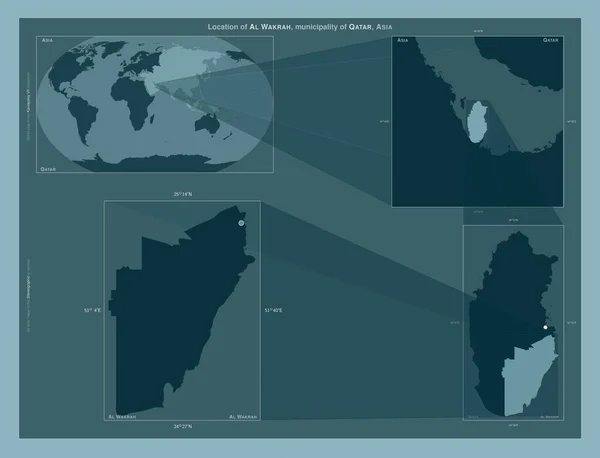
Al Wakrah, municipality of Qatar. Diagram showing the location of the region on larger-scale maps. Composition of vector frames and PNG shapes on a solid background
Wakrah Municipality Qatar Diagram Showing Location Region Larger Scale Maps — Foto de Stock
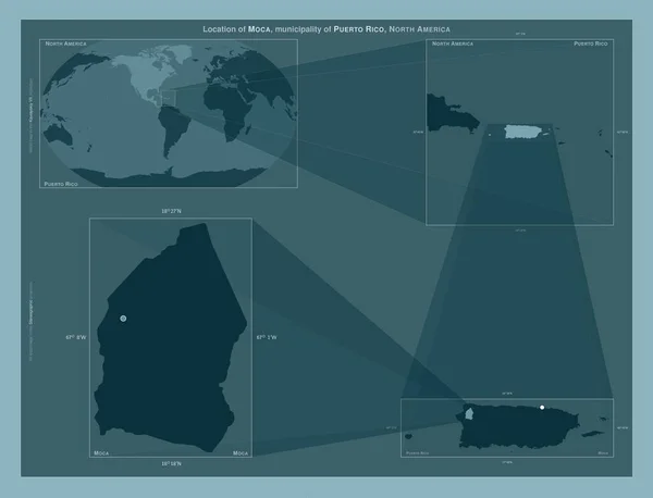
Moca, municipality of Puerto Rico. Diagram showing the location of the region on larger-scale maps. Composition of vector frames and PNG shapes on a solid background
Moca Municipality Puerto Rico Diagram Showing Location Region Larger Scale — Foto de Stock
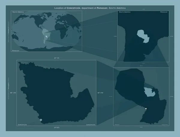
Concepcion, department of Paraguay. Diagram showing the location of the region on larger-scale maps. Composition of vector frames and PNG shapes on a solid background
Concepcion Department Paraguay Diagram Showing Location Region Larger Scale Maps — Foto de Stock
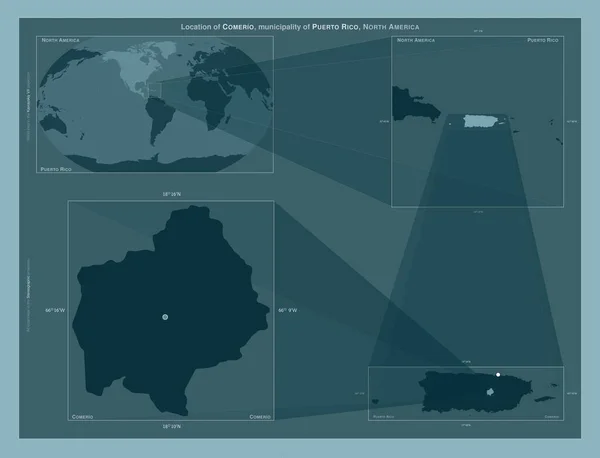
Comerio, municipality of Puerto Rico. Diagram showing the location of the region on larger-scale maps. Composition of vector frames and PNG shapes on a solid background
Comerio Municipality Puerto Rico Diagram Showing Location Region Larger Scale — Foto de Stock
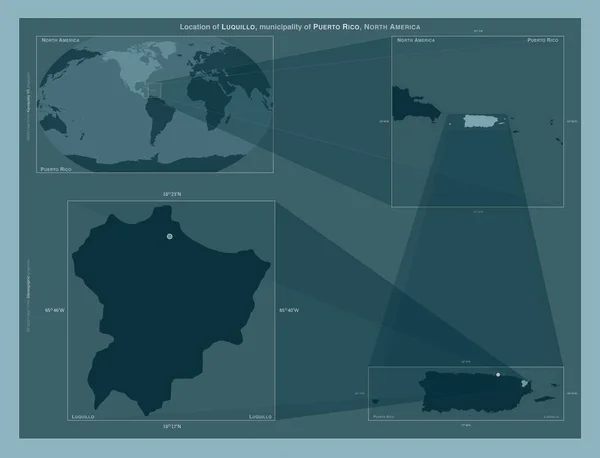
Luquillo, municipality of Puerto Rico. Diagram showing the location of the region on larger-scale maps. Composition of vector frames and PNG shapes on a solid background
Luquillo Municipality Puerto Rico Diagram Showing Location Region Larger Scale — Foto de Stock
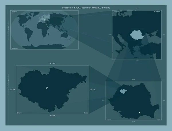
Salaj, county of Romania. Diagram showing the location of the region on larger-scale maps. Composition of vector frames and PNG shapes on a solid background
Salaj County Romania Diagram Showing Location Region Larger Scale Maps — Foto de Stock
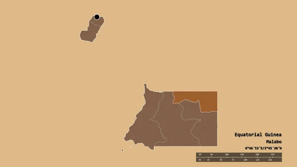
Forma desnaturalizada de Guinea Ecuatorial con su capital, división regional principal y la zona separada de Kie-Ntem. Etiquetas. Composición de texturas modeladas. Renderizado 3D
Forma Desnaturalizada Guinea Ecuatorial Con Capital División Regional Principal Zona — Foto de Stock
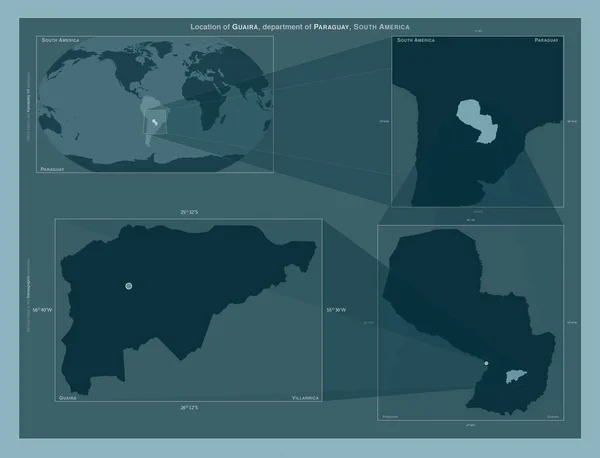
Guaira, department of Paraguay. Diagram showing the location of the region on larger-scale maps. Composition of vector frames and PNG shapes on a solid background
Guaira Department Paraguay Diagram Showing Location Region Larger Scale Maps — Foto de Stock
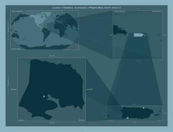
Guanica, municipality of Puerto Rico. Diagram showing the location of the region on larger-scale maps. Composition of vector frames and PNG shapes on a solid background
Guanica Municipality Puerto Rico Diagram Showing Location Region Larger Scale — Foto de Stock
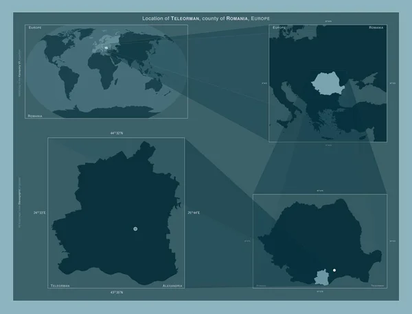
Teleorman, county of Romania. Diagram showing the location of the region on larger-scale maps. Composition of vector frames and PNG shapes on a solid background
Teleorman County Romania Diagram Showing Location Region Larger Scale Maps — Foto de Stock
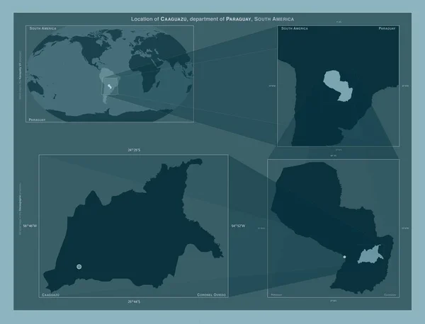
Caaguazu, department of Paraguay. Diagram showing the location of the region on larger-scale maps. Composition of vector frames and PNG shapes on a solid background
Caaguazu Department Paraguay Diagram Showing Location Region Larger Scale Maps — Foto de Stock
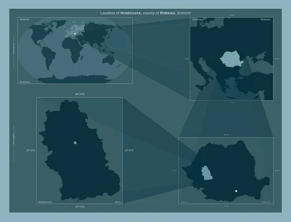
Hunedoara, county of Romania. Diagram showing the location of the region on larger-scale maps. Composition of vector frames and PNG shapes on a solid background
Hunedoara County Romania Diagram Showing Location Region Larger Scale Maps — Foto de Stock
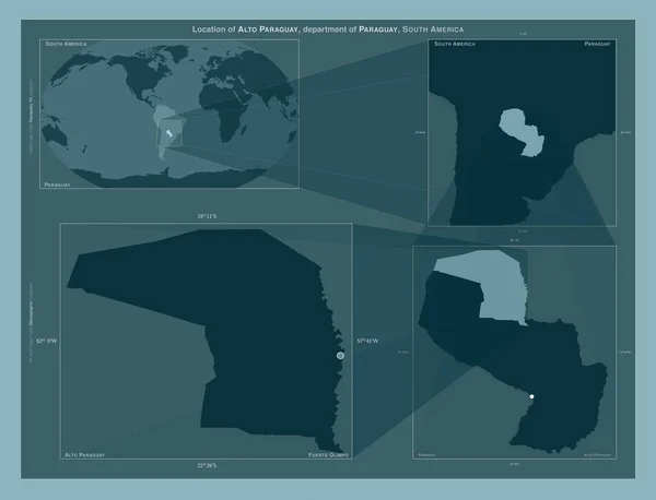
Alto Paraguay, department of Paraguay. Diagram showing the location of the region on larger-scale maps. Composition of vector frames and PNG shapes on a solid background
Alto Paraguay Department Paraguay Diagram Showing Location Region Larger Scale — Foto de Stock
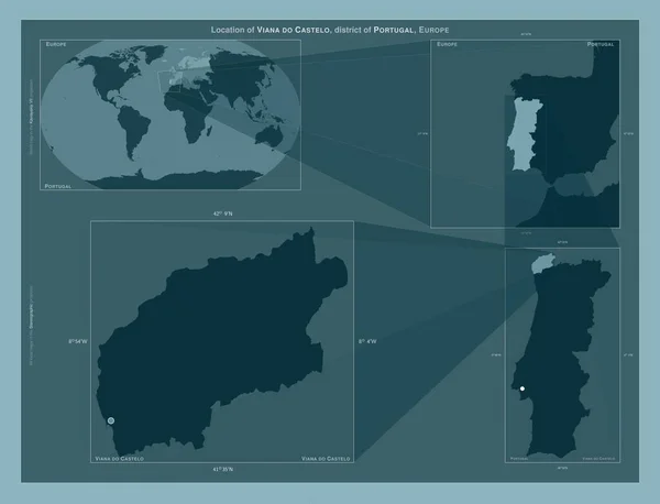
Viana do Castelo, district of Portugal. Diagram showing the location of the region on larger-scale maps. Composition of vector frames and PNG shapes on a solid background
Viana Castelo District Portugal Diagram Showing Location Region Larger Scale — Foto de Stock
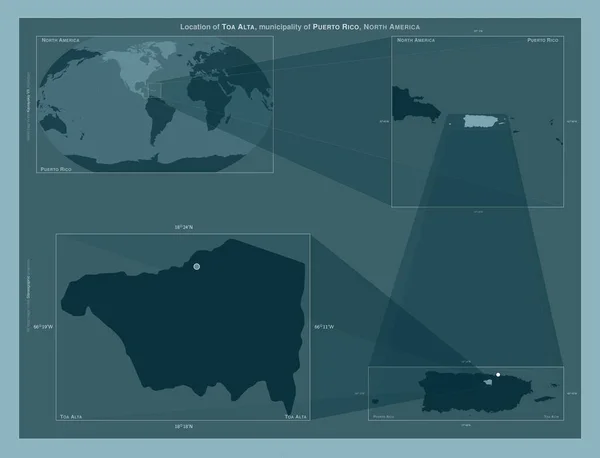
Toa Alta, municipality of Puerto Rico. Diagram showing the location of the region on larger-scale maps. Composition of vector frames and PNG shapes on a solid background
Toa Alta Municipality Puerto Rico Diagram Showing Location Region Larger — Foto de Stock
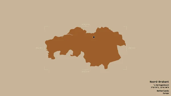
Zona de Noord-Brabant, provincia de Holanda, aislada sobre un fondo sólido en una caja delimitadora georeferenciada. Etiquetas. Composición de texturas modeladas. Renderizado 3D
Zona Noord Brabant Provincia Holanda Aislada Sobre Fondo Sólido Una — Foto de Stock

Información de uso

Puede utilizar esta ilustración sin royalties "Madinat ash Shamal, municipality of Qatar. Diagram showing the location of the region on larger-scale maps. Composition of vector frames and PNG shapes on a solid background" para fines personales y comerciales, de acuerdo con las licencias Estándar o Ampliada. La licencia Estándar cubre la mayoría de los casos de uso, incluida la publicidad, los diseños de interfaz de usuario y el envase del producto, y permite hasta 500.000 copias impresas. La licencia Ampliada permite todos los casos de uso de la licencia Estándar con derechos de impresión ilimitados, y le permite usar las ilustraciones descargadas para mercadería, reventa de productos o distribución gratuita.

Puede comprar esta ilustración y descargarla en alta resolución hasta 4930x3770. Fecha de carga: 28 ene 2023